Geography & earth science Learn interactively.
Explore the Earth with its countries, capitals and rivers interactively
All subjects App catalogue
All apps. Free in your browser.
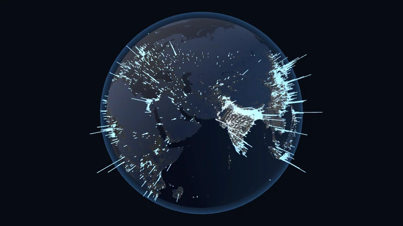
8 billion in columns (3D)
7.84 billion people as columns on the globe (GHS-POP, 2020, 0.25° grid). The "share of humanity" slider lights up the densest cells: half of all people live on 2.1 % of the land — the sparsest half of the land carries 0.05 %.
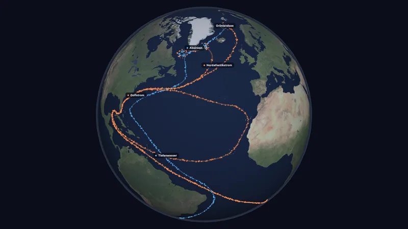
Geography & earth scienceTry itAMOC tipping point (3D)
The Atlantic overturning circulation on a 3D globe: more freshwater weakens it until it tips, and turning back alone does not restore it. Stommel box model with hysteresis, meridional section and temperature effects for Europe.
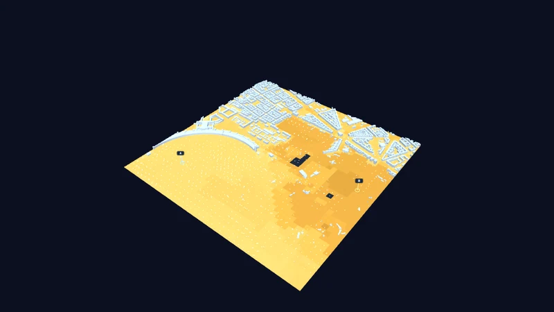
Geography & earth scienceTry itThe breathing city
Explore Berlin in 3D with official buildings and modeled urban climate: air and surface temperature, thermal stress and nighttime cooling.
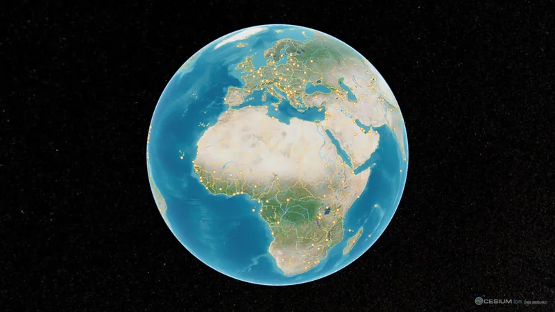
Geography & earth scienceTry itGlobe (3D)
Photo-realistic Earth with detailed country borders, ~200 capitals and major rivers — click a country/city, search, zoom, with live clouds and atmosphere.
Geography & earth scienceTry itMeander simulation
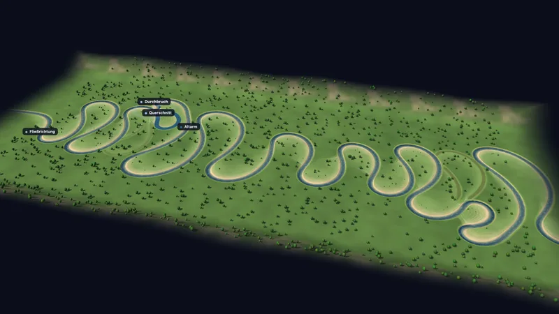
In time-lapse, a river winds across a flat floodplain. The cut bank is eroded and a sandbar grows on the point bar until a cutoff severs a loop and leaves an oxbow lake behind. Cross-profile with secondary flow, erodibility, valley slope and bank protection are adjustable.
Geography & earth scienceTry itIntensive livestock farming — space per animal (3D)
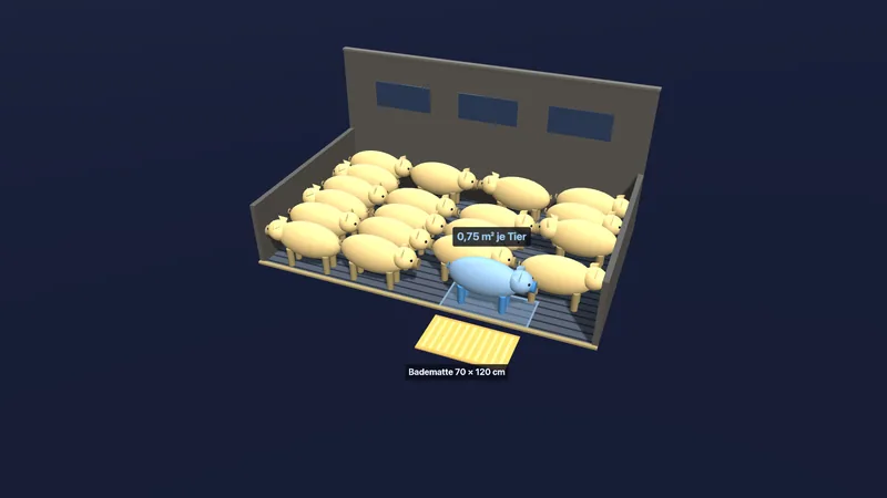
A pen in cross-section for fattening pigs and broilers across the five German husbandry levels from barn to organic: space per animal to scale next to a bath mat or an A4 sheet, animals per pen, outdoor run and the consequences for manure, feed and animals per area. All figures sourced from German animal welfare law, the labelling act and the EU organic regulation.
Geography & earth scienceTry itMercator and map projections
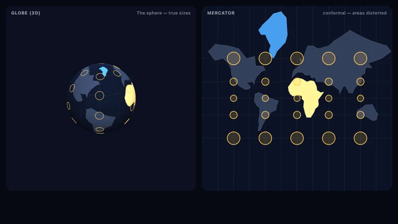
Compare a globe with a flat map, explore polar area distortion and Tissot’s indicatrices, and move Greenland towards the equator to reveal its scale.
Geography & earth scienceTry itPlate tectonics
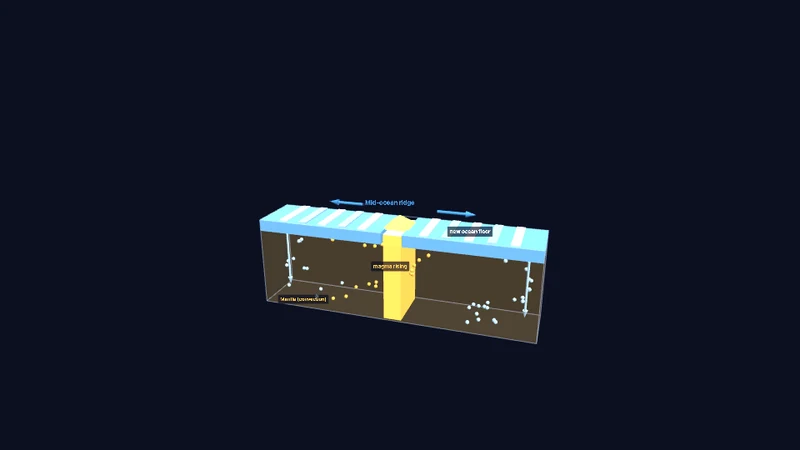
Explore divergent, convergent and transform boundaries in 3D. See mantle convection, seafloor formation, subduction, mountains and earthquakes, plus continental drift over time.
Geography & earth scienceTry itWeather stations
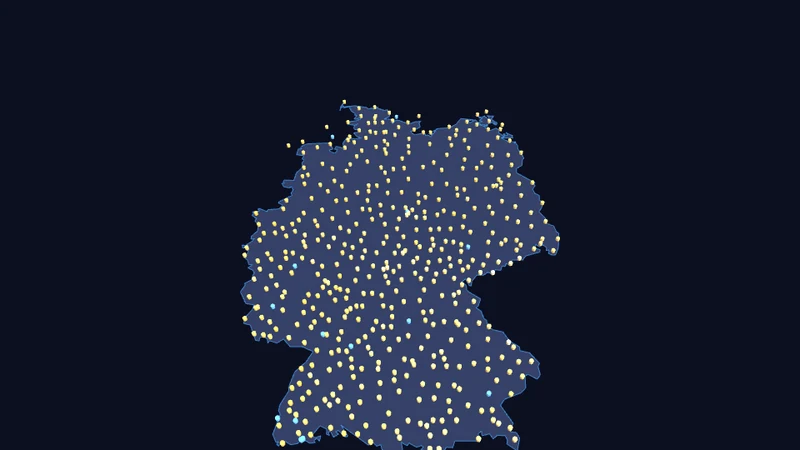
Explore roughly 500 German weather stations on a 3D map. Select a station for temperature, rainfall, wind and other charts using Bright Sky and DWD open data.
Geography & earth scienceTry it